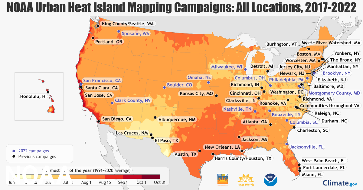
With greater risk of heat related illness cities around the country have partnered with NOAA (National Oceanic and Atmospheric Association) in order to create heatmaps of various communities. Volunteers have been equipped with special heat sensors that record temperature, humidity, time, and their locations. NOAA is using the information gathered by these volunteers to map heat islands in urban areas. The hope is that the maps created can aid city officials in managing extreme heat in underrepresented areas and greatly reduce the amount of heat related deaths. full article here
|
We're hearing a lot about climate change affecting underrepresented communities in particular this year where heat waves flash floods and wild fires are especially rampant. Summarized below is an article focused on ongoing studies pertaining to urban heat, check it out!
With greater risk of heat related illness cities around the country have partnered with NOAA (National Oceanic and Atmospheric Association) in order to create heatmaps of various communities. Volunteers have been equipped with special heat sensors that record temperature, humidity, time, and their locations. NOAA is using the information gathered by these volunteers to map heat islands in urban areas. The hope is that the maps created can aid city officials in managing extreme heat in underrepresented areas and greatly reduce the amount of heat related deaths. full article here
0 Comments
Leave a Reply. |
Archives
September 2023
CateInspiration comes from the world around us; color, texture, pattern- all components of the ever changing landscape. The camera captures these moments for further reflection. This blog will feature monthly musings centered on the landscape. Categories
All
|


 RSS Feed